photography and the metaverse

In: Design

31 May 2007

Fred Murrell sent me this link to a recent presentation at the TED conference. The presenter, Blaise Aguera y Arcas (genius), has developed a remarkable technology (acquired last year by Microsoft) that interconnects geospacial data and imagery, and allows them to be superimposed over one another without concern for the size of the files. In other words, this is really cool stuff.

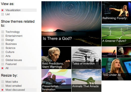
The TED site was relaunched earlier this year. The interface was designed to incorporate dynamic navigation based on themes. Definitely worth checking out.

Comment Form

About

Hugh Graham does design strategy, research, and storytelling for corporations, non-profits, and community organizations.

Doing, Reading, Thinking...

Listening...

  • The Smiths - Hand in GloveHand in Glove by The Smiths
  • Bryan Ferry - You Do Something To MeYou Do Something To Me by Bryan Ferry
  • browse my last.fm playlist

    • Anna: This story was used in my English 111 (college) course. This should show how wise of an individual y [...]
    • Larry: I found one of these today in Sumterville, Florida. This one is in good condition and in the shape o [...]
    • Patricia: went grave reading tonight in a catholic cemetery in Austin, Texas and found many headstones (most o [...]
    • 21 June 2011 – Gravestone Symbolism « Wells Family Genealogy: [...] ” Dum Tacet Clamat” “Though silent, he speaks” In cemeteries throughout the w [...]
    • Thesaurus: This visual map is amazing. I'm looking on it near 20 minutes and it's still amazing for me! [...]

    Some Flickr Photos

      riverside-walkabout-june2010- - 14riverside-walkabout-june2010- - 08riverside-walkabout-june2010- - 31riverside-walkabout-june2010- - 34riverside-walkabout-june2010- - 41riverside-walkabout-june2010- - 48riverside-walkabout-june2010- - 32riverside-walkabout-june2010- - 24riverside-walkabout-june2010- - 21